Edit your first layer in QGIS
Install the OrbGIS Connector, sign in from QGIS, pull a hosted layer onto the canvas, and push your edits straight back to the portal.
You need QGIS 3.34 or newer and the Editor role or higher in your organization. The plugin is free and open source.
Add the repository
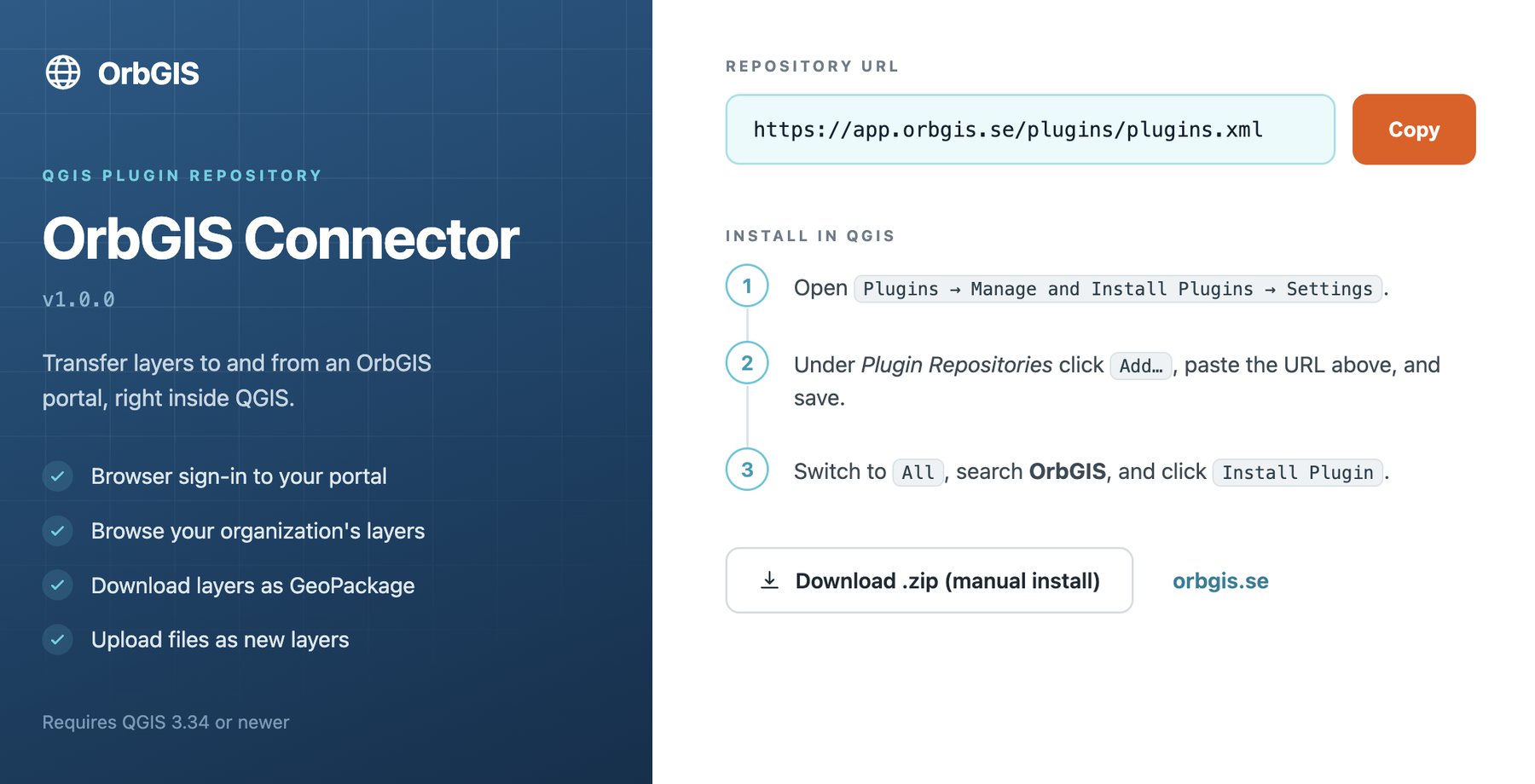
In QGIS open Plugins → Manage and Install Plugins → Settings, then under Plugin Repositories press Add… and paste
https://app.orbgis.se/plugins/plugins.xml.Install OrbGIS Connector
Switch to the All tab, search for OrbGIS, and press Install Plugin. A toolbar button and a Web → OrbGIS Connector menu entry appear.
Sign in
Open the panel and press Sign in. Your browser opens the OrbGIS consent page; press Authorize QGIS Desktop and return to QGIS. The plugin gets its own session on this machine — your browser login is untouched. QGIS may ask for its master password so the session can be stored encrypted.
Add a layer to the map
The Layers section lists your organization’s hosted feature layers with their geometry type and feature count. Press Add to map on one. It downloads as a local GeoPackage working copy and opens on the canvas.
Edit it like any QGIS layer
Toggle editing, move vertices, change attributes, add and delete features — all the usual tools. There is nothing to check out and nothing to lock.
Save edits
Press Save Edits. The plugin sends the difference to OrbGIS as deletes, updates and inserts, and reports back: *“3 added, 12 updated, 1 deleted saved to OrbGIS.”* Your maps and dashboards see the change immediately; zoomed-out overviews catch up a few minutes later.
Publish a new layer from QGIS
Drag any vector layer from the QGIS Layers panel onto the Upload drop zone in the OrbGIS panel. It runs through the same ingest pipeline as a browser upload and appears in the portal as a new hosted layer.
How concurrent editing behaves#
Editing is deliberately lockless: the last save wins. Two people changing the same feature is resolved in favour of whoever saves last; two people creating features is safe, because a genuine collision fails loudly instead of silently merging. Nothing is ever half-applied — each save is all-or-nothing.
If a save fails, the plugin says so and stops pushing from that working copy — your local file has changes the server does not. Recovery is always the same: press Add to map again for a fresh copy and re-apply the edits.
What the plugin does not do#
- Schema changes — adding or removing a field — cannot be synced; the hosted layer’s schema is fixed. Upload the layer as a new one instead.
- Only feature layers appear in the browser: basemaps, rasters, dashboards and journeys stay in the web portal.
- Uploads take vector layers only, one at a time, and land at the root of your content with the file’s own name.
The full reference — install details, session handling and the complete list of limitations — is in QGIS Plugin.