Print Layouts
Millimeter-precise sheets built from your web maps: true scales, legends, scale bars and north arrows, exported as PDF or images at print DPI.
Page setup#
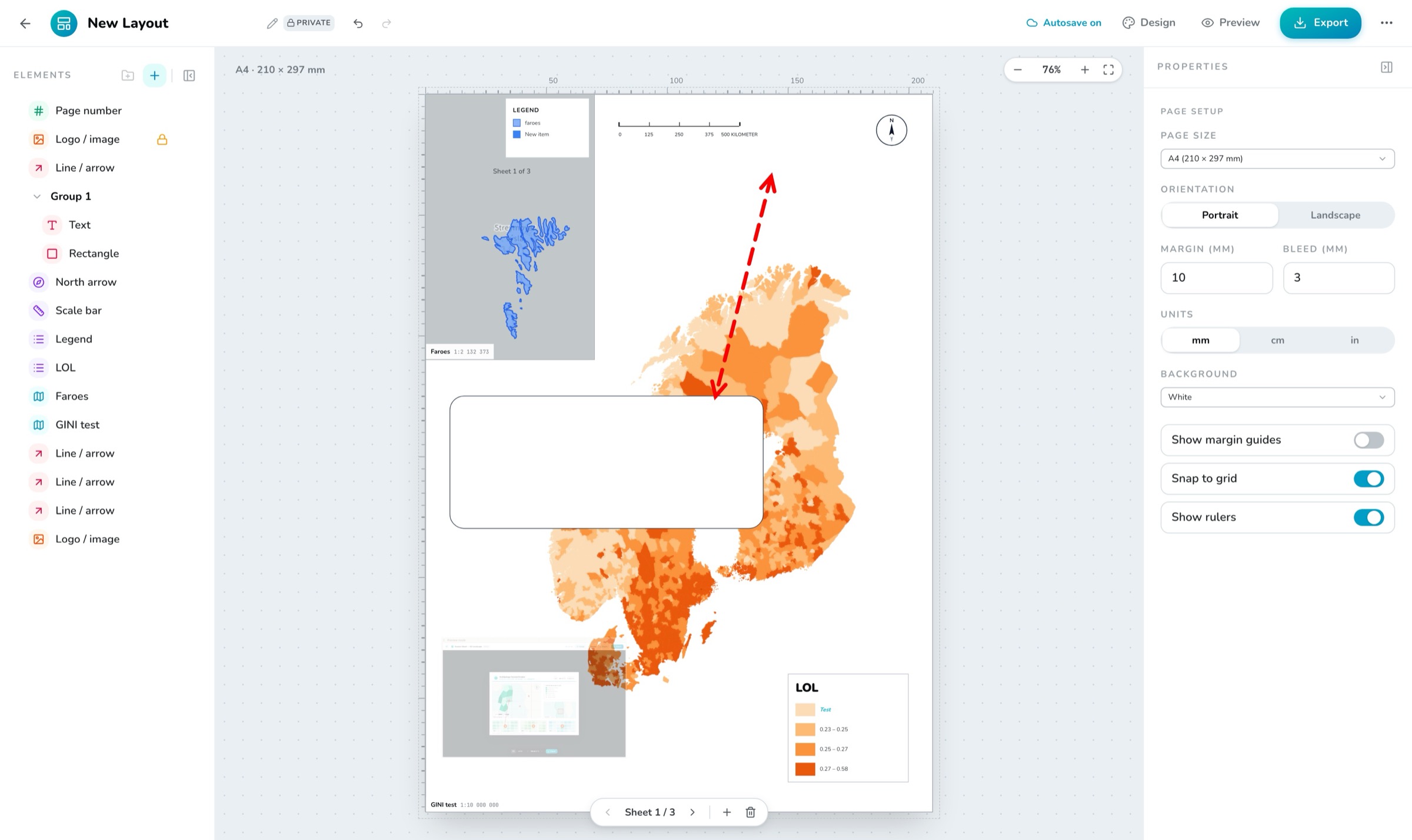
A layout is a paper canvas: page sizes A5, A4, A3, A2, A1, Letter and Tabloid, portrait or landscape, with margin and bleed controls, margin guides, snap-to-grid and rulers. A new layout starts as A3 landscape. Documents can have multiple pages, and elements can be grouped.
The element palette#
| Element | What it does |
|---|---|
| Map frame | A linked view of one of your web maps, at a true scale. |
| Locator | An overview/inset map that draws the main frame’s extent as a rectangle. |
| Legend | Symbology for a frame — 1–3 columns, per-row overrides, custom rows. |
| Scale bar | Bar, stepped or line style; km, miles or metres; configurable divisions. |
| North arrow | Needle, arrow or minimal style. |
| Text | Free rich text. |
| Line / arrow | Drawn with two clicks, with dash styles and arrowheads. |
| Shape | Box, frame or panel with fill and stroke. |
| Logo / image | A placed graphic. |
| Page number | “Sheet x of y”, templated. |
| Date | Automatic or fixed, ISO or long format. |
Map frames and true scale#
A map frame links a web map and holds a true scale — pick from presets between 1:500 and 1:10 000 000, formatted like 1:25 000. The extent is either Fixed or Follow view (tracking the linked map’s saved viewpoint). Frames can show a graticule, a border, a name-and-scale chip, and per-layer visibility overrides — without touching the source map.
Exporting#
Export produces PDF (print/pages), PNG (lossless) or JPEG (smaller) at 96, 150 or 300 DPI, with options to crop to page margins, keep a transparent background (PNG) and embed title/scale metadata. Multi-page documents export as a single multi-page PDF, or as numbered image files.
Layouts follow your organization’s themes, and the built-in A3 map sheet template gives you a finished sheet — frame, legend, scale bar, north arrow and date — to start from.