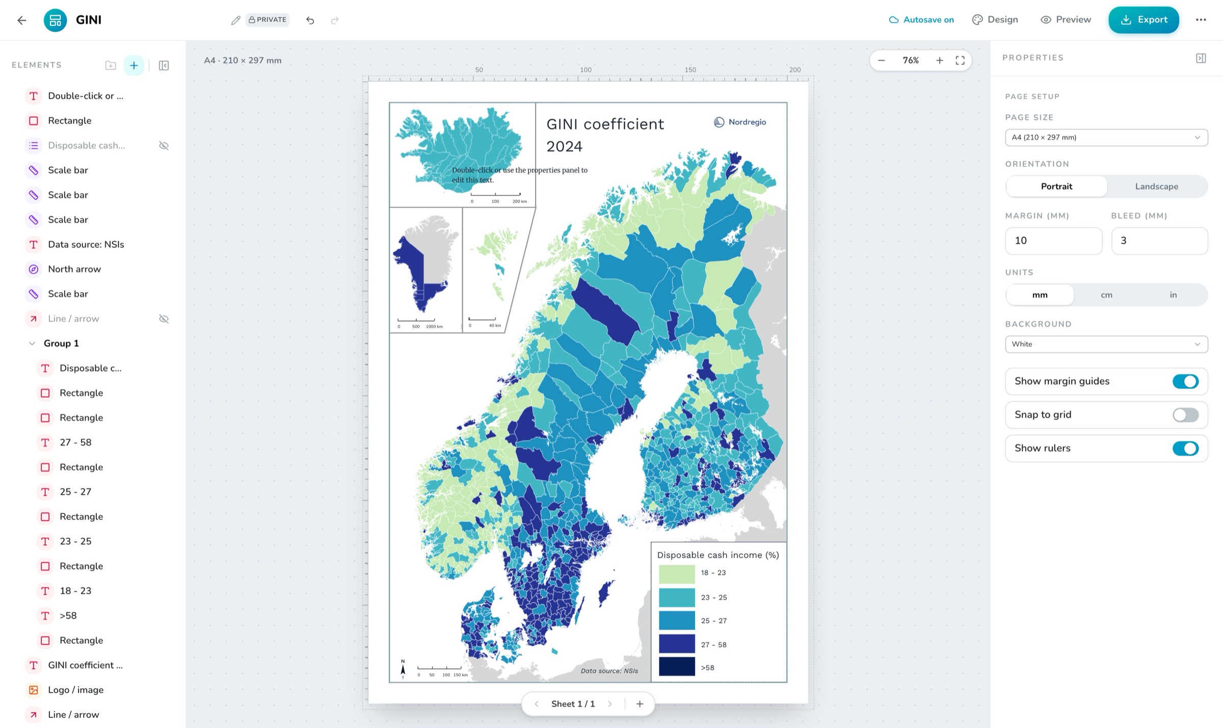
The composer — an A4 sheet with live map frames, legend and scale bar
A print composer for your web maps. Pick a sheet, set the scale, export a print-ready PDF — without leaving the browser.
The composer — an A4 sheet with live map frames, legend and scale bar
Print Layouts is the sheet composer inside OrbGIS. You place one or more map frames on real paper sizes — A5 up to A1, plus Letter and Tabloid — and dress them with legends, scale bars, north arrows and locator maps. Everything is positioned in millimetres, because paper is measured in millimetres, not pixels.
Map frames are live views of your web maps. Set one to 1:25 000 and the frame adjusts its view until it covers exactly the ground distance the scale demands — the scale printed on the sheet is a statement of fact, not a suggestion. Choose which layers show in each frame, switch the basemap, and add a coordinate grid when the map calls for one.
When you export, every map frame is rendered at full print quality: PNG, JPEG or multi-page PDF at up to 300 dpi. Layouts save automatically as you work, and undo actually works.
Set a printed scale and the map frame adjusts its view until it's exact on paper. Presets run from 1:500 to 1:10 000 000.
Legend, scale bar, north arrow and locator all attach to a map frame. The legend mirrors the frame's layers and styling, and the locator shows exactly where the frame sits on an overview map.
The bar picks the largest round distance that fits — 5 km, not 4.7 — in the style and unit you choose. What you see on screen is exactly what prints.
A5 through A1, plus Letter and Tabloid for the transatlantic crowd. Portrait or landscape, margins and bleed, positioned in mm — or cm or inches, if you insist.
PNG, JPEG or multi-page PDF at up to 300 dpi, with every map frame rendered at full print resolution — never a stretched screenshot.
Elements snap to the page, margins and each other. Rulers, grid, element groups, hide and lock, undo and autosave — and you can pan and zoom a map frame in place.
Compose a print-ready sheet from a web map: a map frame at a true scale, a legend, a scale bar, a north arrow and your own text — exported as PDF, PNG or JPEG at print resolution.
→Millimeter-precise sheets built from your web maps: true scales, legends, scale bars and north arrows, exported as PDF or images at print DPI.
→Get finished output out of OrbGIS: map images up to print resolution, layout PDFs, and CSV extracts of your data.
→Work in the CRS your organization actually uses. SWEREF 99, ETRS89 grids and more are first-class citizens — not everything is forced through Web Mercator.
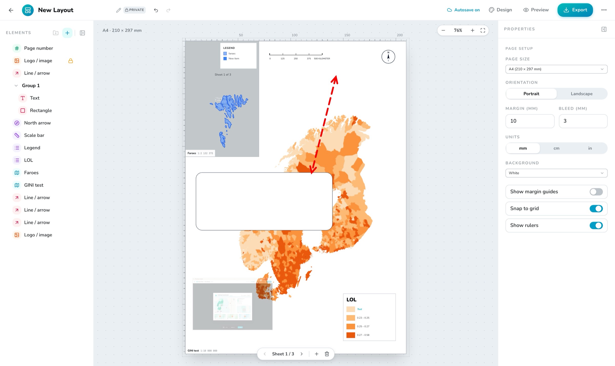
→
No demo call. No sales funnel. Sign up to make your first map.