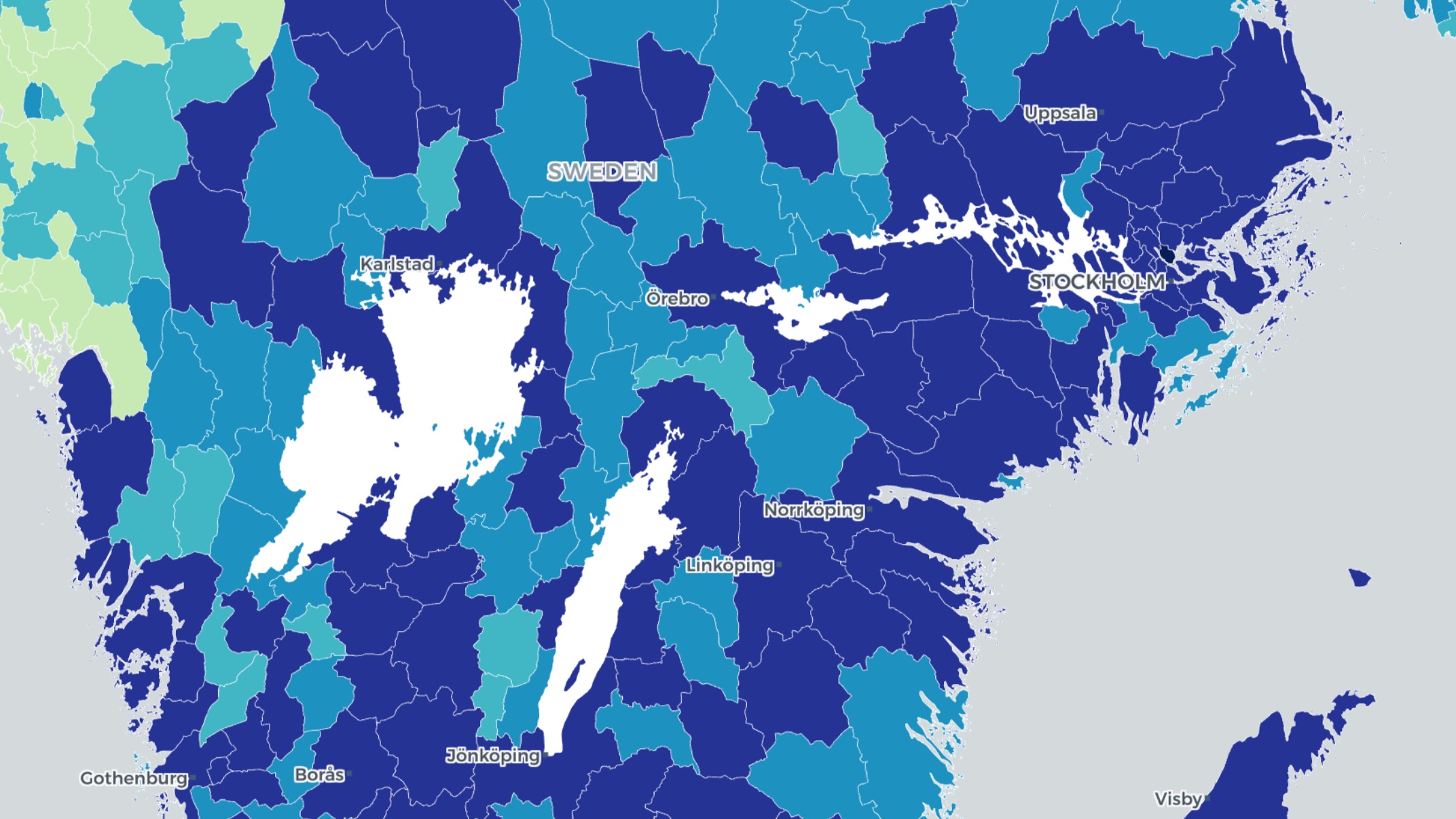
Made in Sweden

A complete web GIS.
Without the fuss.

OrbGIS is a complete web GIS platform: publish your data, build maps and web apps — and share them with your organization or the world. No sales calls. No credit systems. No 300-page license agreement.

Start free

No card or billing details required.

OrbGIS
Made in Sweden100% Swedish-ownedNo vendor lock-inSetup in 5 minutesSupport by the developers

One platform for everything spatial.

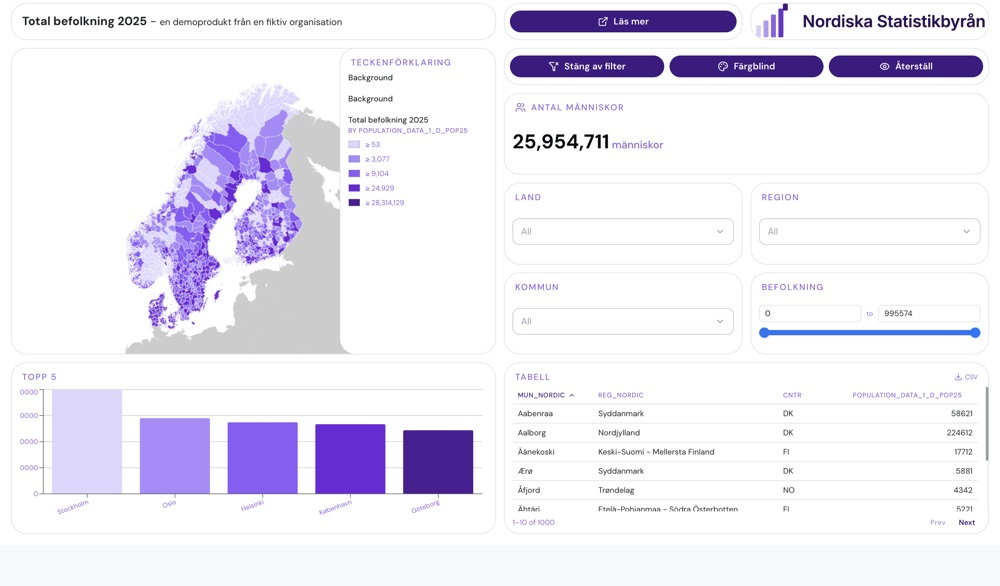
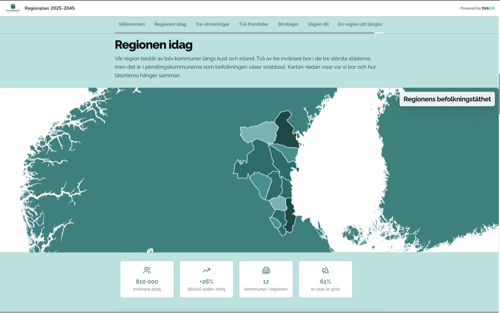
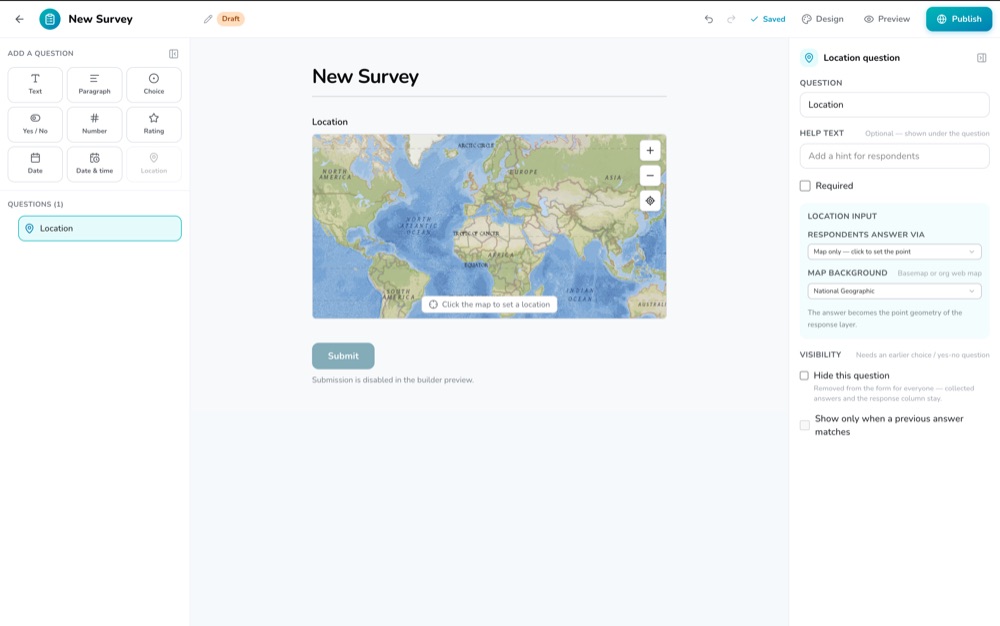
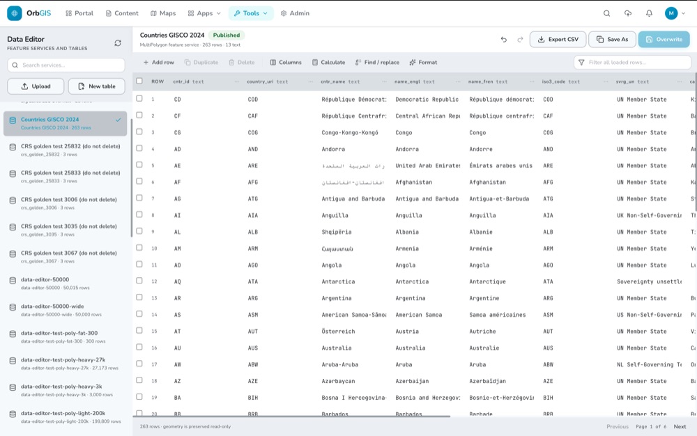
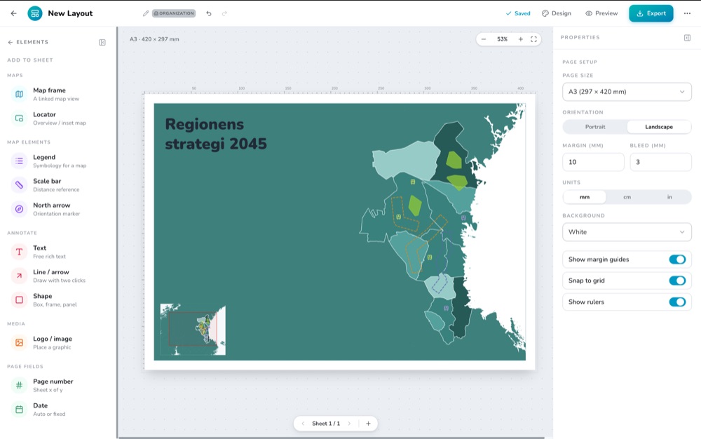
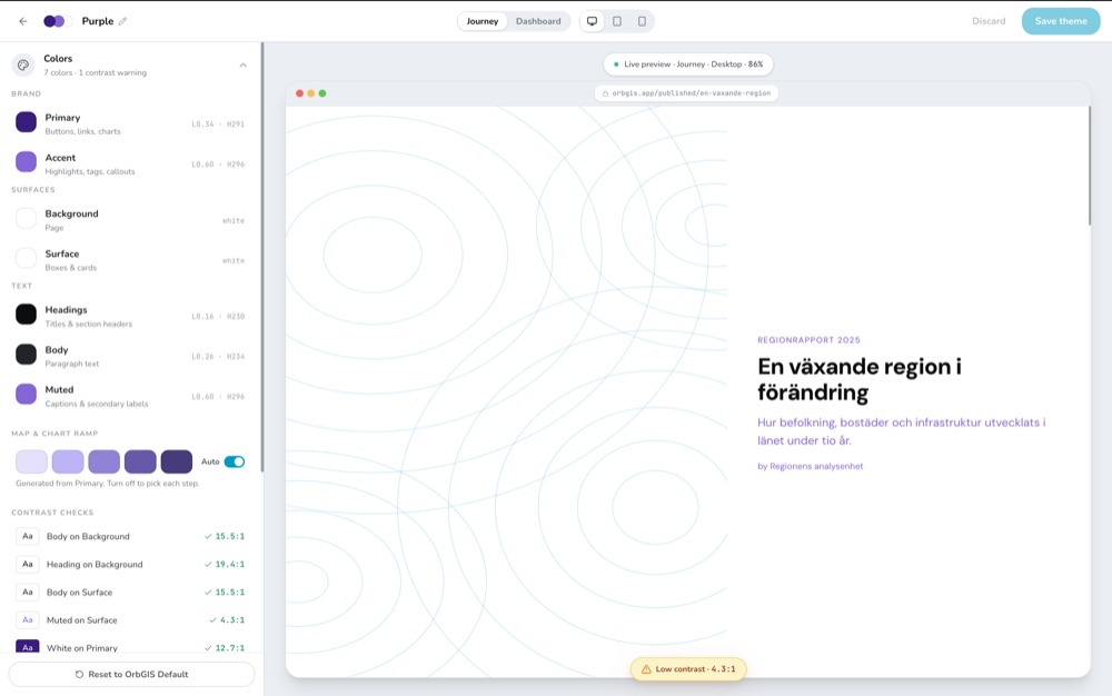
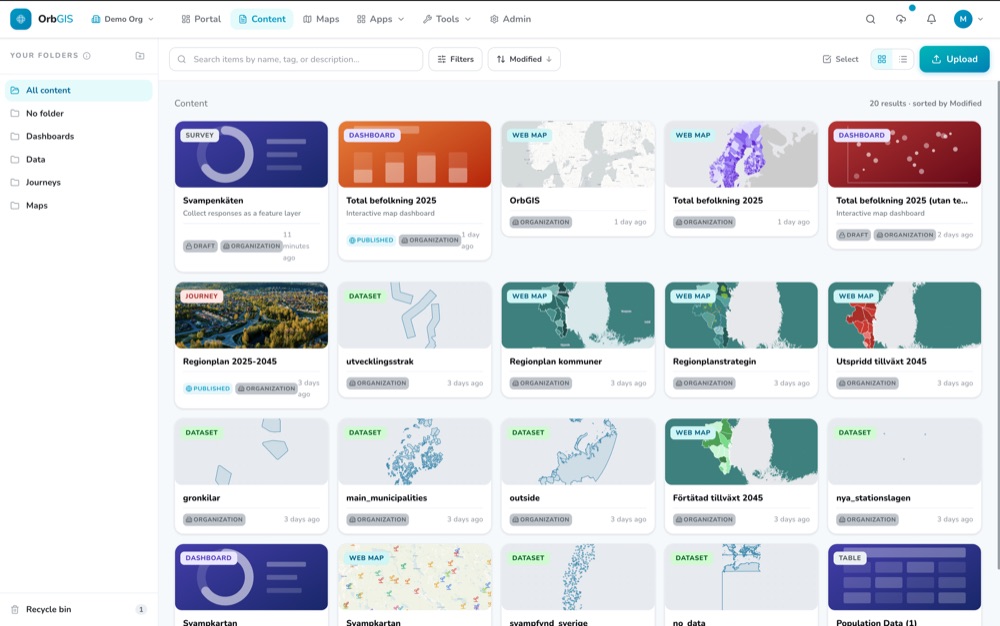
Upload your data and add it to maps to build dashboards, Journeys or high-quality print layouts. Publish surveys to easily collect new data. Everything lives in one portal, with folders, groups, roles and search built in.

The apps

One platform. Every deliverable.

Every OrbGIS app works from the same layers, the same portal, the same sharing model. Build once, publish everywhere.

Web Maps

Maps that keep up with your data.

Your layers stream as vector tiles — smooth at every zoom level, whether it's ten points or ten million polygons. OrbGIS builds level-of-detail pyramids automatically at upload, so the dense national dataset that chokes other platforms just… renders.

Everything a web map engine should have

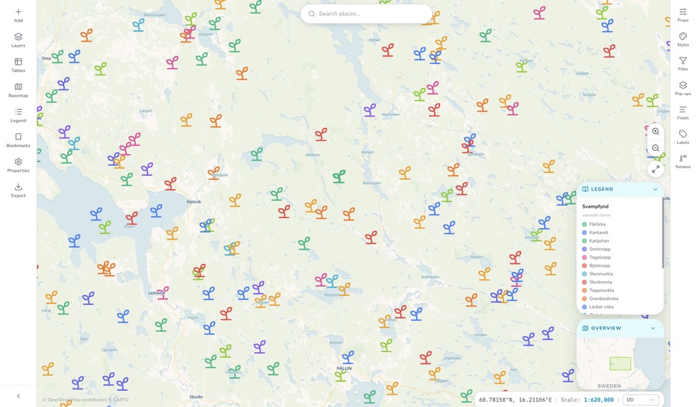
Data-driven colors and custom symbology, feature filtering, label and popup configuration, access to related features, field management, and direct map image export.

Performance beyond the ordinary

The horsepower under the hood makes rendering your data completely smooth and buffer-free — no matter if it's millions of features.

Real coordinate systems, done right

You work with and visualize your data in your chosen coordinate system — you're never locked to WGS84, always free to use whatever's right for your region and your data.
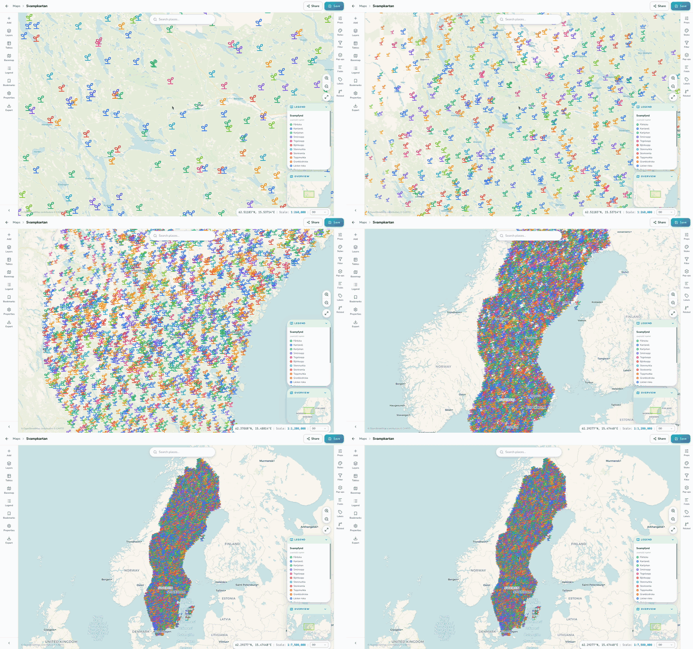
The OrbGIS map viewer with styled layers
Your data, ingested properly

Drop a file. Get a layer.

Upload Shapefile, GeoPackage, GeoParquet, GeoJSON, KML or CSV — OrbGIS handles projection, indexing and tiling automatically. Multi-gigabyte national datasets are welcome.
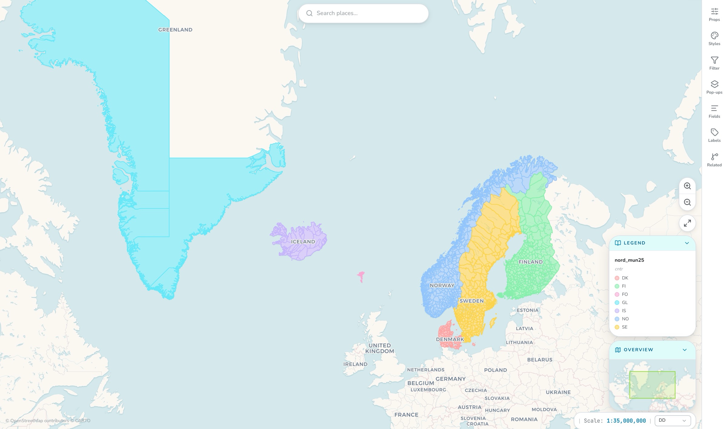
riket.gpkg · 3.2 GB
1 — Drop
2 — Reproject · index · tile
A freshly ingested layer on the map
3 — Fast, shareable layer
.shp.gpkg.parquet.geojson.kml.csv

QGIS Plugin

Plays well with QGIS. On purpose.

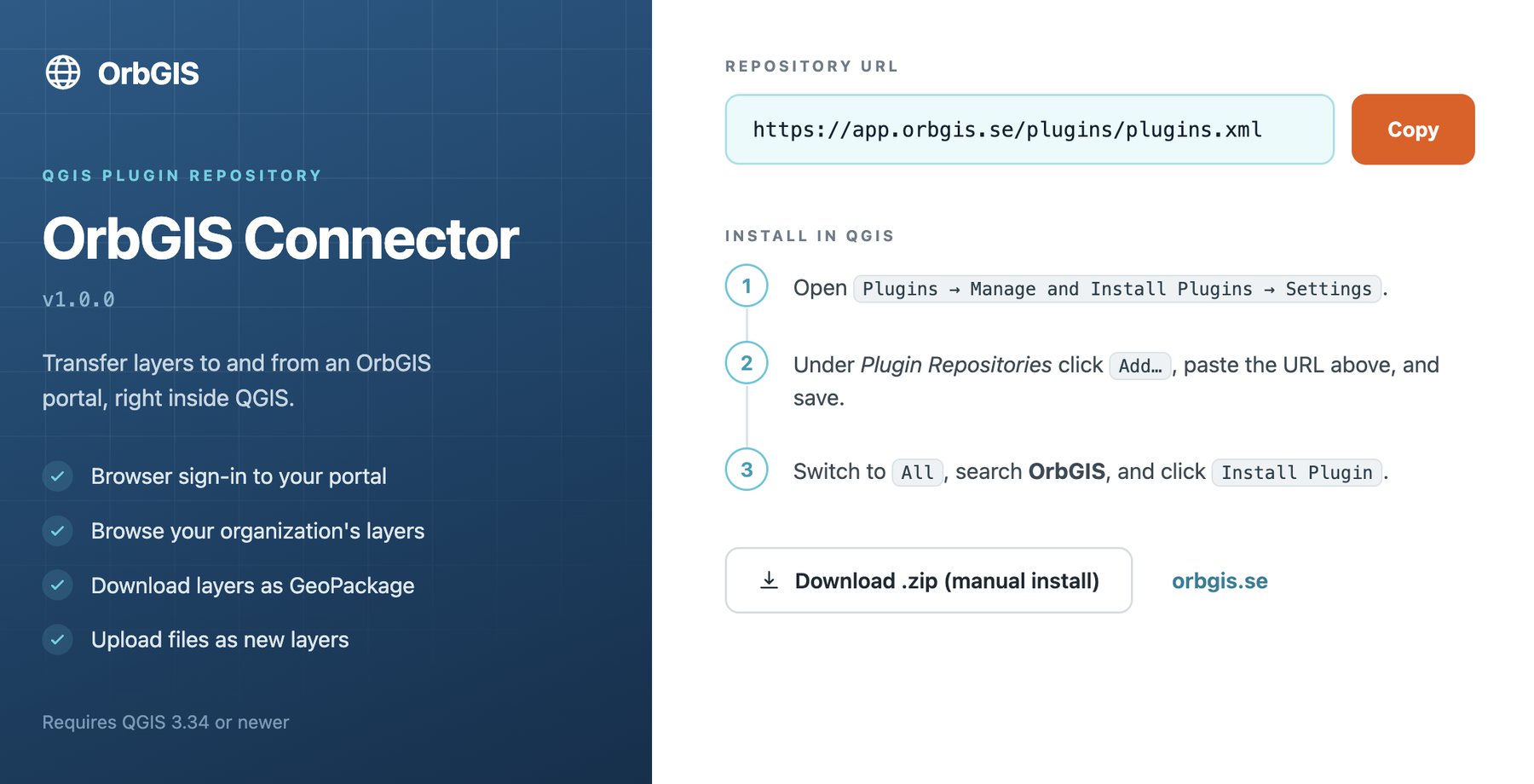
We're not trying to lock you into a browser. The OrbGIS Desktop Connector is a free QGIS plugin that connects your portal to the world's most popular desktop GIS.
  • Browse your entire OrbGIS portal from inside QGIS
  • Load portal layers straight into your project
  • Edit and manage your portal-hosted data directly in QGIS
  • Upload data directly to your portal from local storage
Get the QGIS plugin →
The OrbGIS Connector layer tree and map canvas inside QGIS

Why OrbGIS

GIS without the enterprise theater.

01

Live in 5 minutes. Really.

Sign up, name your organization, upload a dataset — done. If you can create an email account, you can set up OrbGIS.

02

Made in Sweden. Built for scrutiny.

100% Swedish-owned. For municipalities and agencies, security and compliance aren't a feature — they're a requirement. We meet it.

03

Pay for what you use. Nothing else.

No bundles, no credit systems, no "contact sales." You'll never need a spreadsheet to understand your GIS invoice.

04

Talk to the people who build it.

You'll be talking to the developers who ship the product — not a ticket queue with 100 layers between you and a fix.

Pricing

Pricing you can explain to your boss in one sentence.

You pay for what you actually use — storage, users and published apps. That's it. Start free, upgrade when it earns its keep.

Start free →
Storagewhat you keep
Userswho builds and edits
Viewersfree — unlimited
License tiers
Credit systems
Sales calls

What would it cost you?

25 GB
1 000 kr/year per 5 GB.
5
6 000 kr/year per user — the people who build and edit. Viewers are free, and unlimited.
Want to publish apps — dashboards, journeys, surveys and more? 5 000 kr/year, with 100 published apps included.
Your price
35,000kr/year
2,917 kr/month
Storage5,000 kr
Users30,000 kr
Viewers0 kr
Start free →

An estimate — you can start free today and add all of this later.

Everything you expect.
Nothing you dread.

Pay a flat rate per 10GB of stored data — credit systems.
Buy and set up your organization without a single call* — account managers.
Guaranteed option for Swedish hosting — your data on an American cloud.
Fixed prices that scale with your usage — "contact us" pricing. That's OrbGIS.

* If you'd rather not, of course — we're always happy to talk to you about our product!


FAQ

Questions, answered directly.

Is it really free for me to try?
Yes, all new customers get a free 14 days trial period with 5GB storage, 5 users with editing and publishing rights and our app bundle. When the trial period is over you can easily add your payment details to keep your organization.
What happens to my content if I stop buying OrbGIS?
You have two options: either you export your data easily for free, or you can pay your current storage cost to keep published apps live.
Where is my data stored?
The default is that data hosted in the portal are stored in the EU. If you need Swedish hosting, please contact info@orbgis.se.
What geodata formats do you support?
Shapefile, GeoPackage, GeoParquet, GeoJSON, KML and the OGC Web Services plus API Standards.
What coordinate systems do you support?
We have support for over 20 different coordinate systems, so that you can choose which to work with. See the full list here.
How do I buy OrbGIS?
Create your organization here or contact info@orbgis.se
How do I contact technical support?
By emailing our engineering manager directly through simon@orbgis.se

Your first map is
5 minutes away.

No demo call. No sales funnel. Sign up to make your first map.